
🚴 cycling route · blue route created by our branch
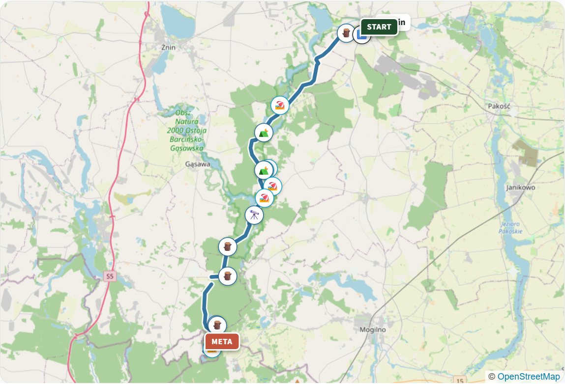
A route from Barcin to Gołąbki past ten lakes, laid out by our branch's trail markers (volunteers who paint the waymarks) on the initiative of environmentalists from Barcin. A nature and education trail through the woods of the Gołąbki Forest District.
35 kmdistance
2 h 30 min cyclingtime
half a daybest for
115 mtotal ascent
one wayroute type
Elevation profile 82-138 m a.s.l.
Route
Barcin › Wolice › Wójcin › Wiktorowo › Ostrówce › Chomiąża Szlachecka › Gąsawka › Bełki › Gołąbki
Along the way
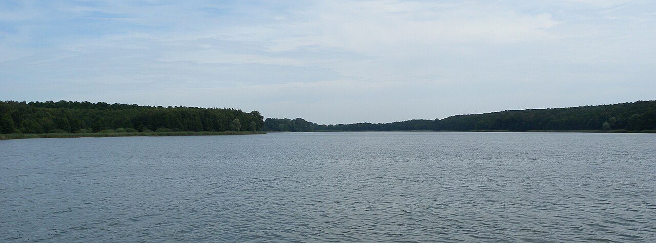
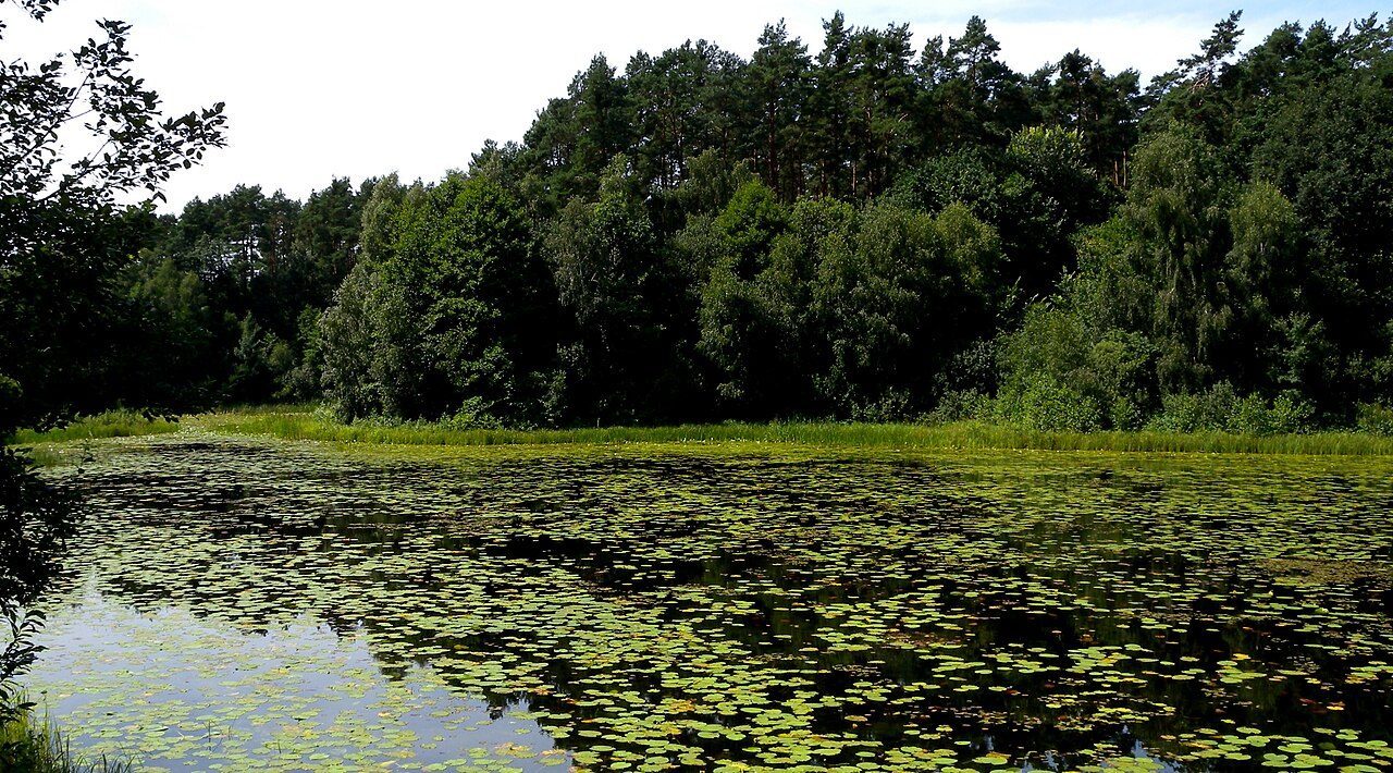
- 10 lakes (including Wolickie, Kierzkowskie, Ostrowieckie, Foluskie, Chomiąskie and Oćwieckie)
- the Foluska Struga and Gąsawka rivers
- St James's Church in Barcin
- church in Chomiąża Szlachecka
- woods of the Gołąbki Forest District
Photos from the route
Sources: paluki.travel.pl, barcin.pl, wirtualneszlaki.pl. Track on the map: OpenStreetMap.